Geodetic Engineer
Dempsey Resource Management Inc.
職位描述
- Performs land surveys to establish boundaries, elevations and topographical features.
- Uses geodetic equipment including GPS to collect and analyze survey data.
- Conducts boundary surveys, land mapping and land title surveys to determine property boundaries and prepare legal documents.
- Gather, analyze and interpret geospatial data to produce accurate maps and reports.
- Utilizes software such as GIS, AutoCAD and other mapping tools to design and develop survey results.
- Utilizes software such as GIS, AutoCAD and other mapping tools to design and develop survey results.
- Ensures that all surveying work adheres to relevant industry standards, local regulations and quality control procedures.
- Troubleshoots and resolve discrepancies in survey data and provide solutions for project-related challenges.
- Graduate of Bachelor of Science in Geodetic Engineer
- Knowledgeable in Microsoft office applications such as Powerpoint and Autocad.
- Must be trustworthy, patient and flexible.
- Good in oral and written communication.
Palma Maria
Talent Acquisition ManagerDempsey Resource Management Inc.
今天回覆 10 次
工作地址
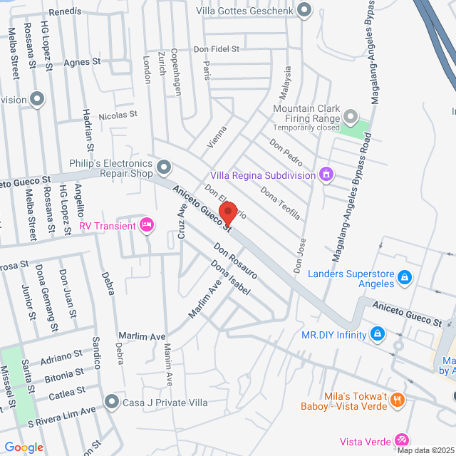
Pulung Maragul. Pulung Maragul, Angeles, Pampanga, Philippines

發布於 05 September 2025
猜你想看
查看更多Geodetic Engineer/PRC Holder/2 years in Land Mapping & Surveyor
 Dempsey Resource Management Inc.
NT$7.8-13K[月薪]
现场办公 - 安吉利斯1-3 年經驗本科全職

Dempsey HR VilmaTalent Acquisition Manager
Geodetic Engineer
 Likas Yaman Service Corporation
NT$10.4-13K[月薪]
现场办公 - 布拉幹1-3 年經驗本科全職

Jon nathanHR Officer
Geodetic Engineer
 Turfgrass Management, Inc.
NT$7.8-10.4K[月薪]
现场办公 - 邦板牙<1 年經驗本科全職

Diamante JocelynHR and Admin Supervisor
Geodetic Engineer
 CHMI Land Inc.
NT$10.4-20.9K[月薪]
现场办公 - 巴丹1-3 年經驗本科全職

Mercado Katelyn JoyHR Officer
3D Mapping Specialist
 Cloudstaff
NT$20.9-31.3K[月薪]
现场办公 - 安吉利斯1-3 年經驗本科全職

Maximo JorgeHR Officer
